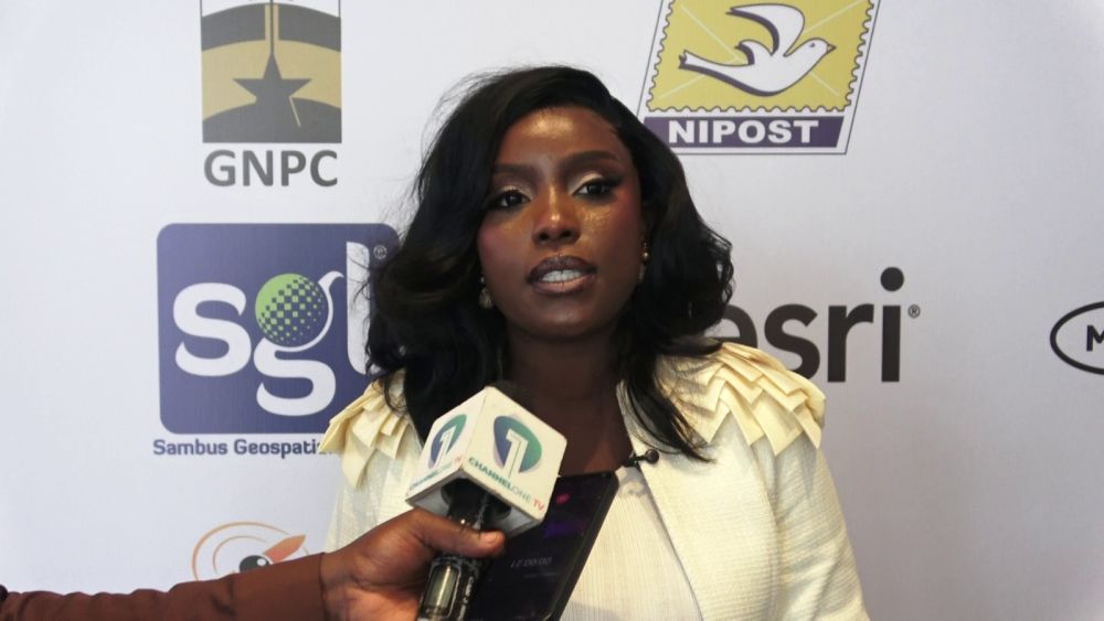
Akua Aboabea Aboah, Managing Director of Sambus Geospatial Limited, told Citi Business News that geospatial data can transform planning and service delivery across Ghana’s key sectors. The remarks were made on the sidelines of the Esri User Conference West Africa 2026, an event hosted by Sambus Geospatial that drew stakeholders from electricity, water, mining, government infrastructure and telecommunications.
Aboah explained that geospatial systems provide actionable information for resource allocation, land administration and network optimisation. She cited postal addressing as a case in point, arguing that unique postcodes would replace informal landmarks and improve navigation and postal services.
In finance, she said geospatial data could strengthen property transactions by revealing land parcels and ownership, thereby helping banks assess collateral and credit risk. For telecommunications, she noted that location‑based customer data enables operators to understand consumption patterns and allocate network resources more efficiently.
Energy and agriculture were also on the agenda. Aboah highlighted how the Electricity Company of Ghana could use mapping to track substations and power lines, while cocoa farmers could map farms, assess soil conditions and forecast yields.
She stressed the importance of cross‑country collaboration, pointing to Sierra Leone’s data journey as a model for Ghana. “We want to see it trickle down to not just the talk, but the walk,” she said, urging institutions to share data so that ordinary citizens benefit from improved water distribution, mining operations and broader economic activity.
As the conference closed, Aboah called for a move beyond silos, urging that data be used in practice rather than just stored on computers. The next step will be to implement these geospatial solutions across public and private sectors to realise tangible gains for Ghana’s development.