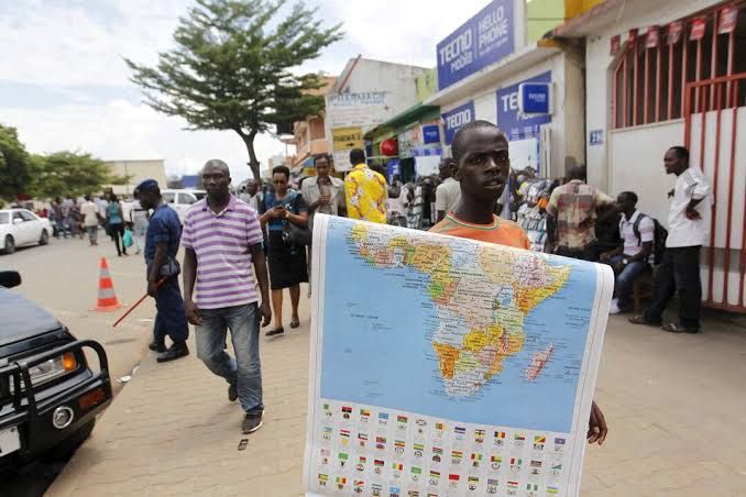
The United Nations General Assembly passed a resolution on Friday to adopt the Equal Earth projection, a map that more accurately portrays the relative sizes of continents, moving away from the 16th‑century Mercator map that exaggerates polar regions.
Sponsored by African states, the motion was championed by Togo, whose Foreign Minister Robert Dussey said a “fair world begins with a fair map.” The vote finished 164 in favour, one against – the United States – and six abstentions.
While the resolution is not legally binding and does not affect the use of Mercator for maritime or aerial navigation, it marks a symbolic shift in how Africa is represented globally. Dussey said Togo will be the first country to update its geography textbooks by year‑end and will lobby other governments, schools, and technology firms to adopt the new projection.
The United States criticised the resolution as an “ideological agenda” that distracts from real international concerns. Togo, however, linked the campaign to broader efforts to confront colonial legacies and to promote a more accurate perception of the world.
In the coming months, Togo plans to meet with African Union members and other supporters to discuss wider implementation and to engage companies that provide mapping, GPS and location‑based services.
What to watch next: the UN’s endorsement could influence educational materials worldwide, potentially reshaping how future generations view the planet’s geography.