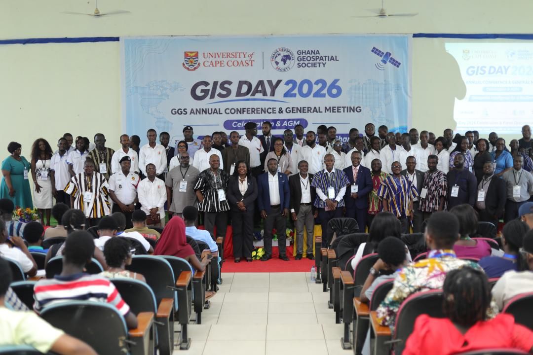
The Ghana Geospatial Society (GGS) and the University of Cape Coast’s (UCC) Department of Geography and Regional Planning, together with the Africa Ocean Institute, convened their 2026 Annual Conference and General Meeting from November 18 to 19 to celebrate GIS Day. The event, themed “Geospatial Intelligence for a Resilient Ghana,” called for increased investment in geospatial technology and stronger collaboration between academia, government and industry.
Professor Eric Akins, head of UCC’s Department of Geography and Regional Planning, opened the two‑day program and reiterated the university’s commitment to geospatial education, research and innovation. Acting Provost Professor Kwabena Sarfo‑Kantankah chaired the conference, describing geospatial intelligence as essential for evidence‑based decision‑making in urban planning, disaster management, environmental protection, agriculture and national security. He highlighted flooding, coastal erosion, illegal mining and rapid urbanisation as pressing challenges that demand reliable spatial data and joint action.
GGS President Gs. Michael Nyoagbe echoed the call for greater investment in geospatial infrastructure and public‑private partnerships to support sustainable development. Executive Director of the Africa Ocean Institute, Professor Precious A.D. Mattah, delivered the keynote, stressing the role of geospatial intelligence in coastal management, environmental monitoring and climate resilience. Guest speaker Mr Krijn Driessen of WaterWorX discussed international partnerships in utility mapping, drone applications and artificial intelligence.
The conference’s Guest of Honour, Professor Rofela Combey, Vice‑Chancellor of UCC, and Special Guest of Honour, Hon. George Justice Arthur, Cape Coast Metropolitan Chief Executive, praised GGS for promoting geospatial innovation and expressed interest in closer collaboration with the Metropolitan Assembly.
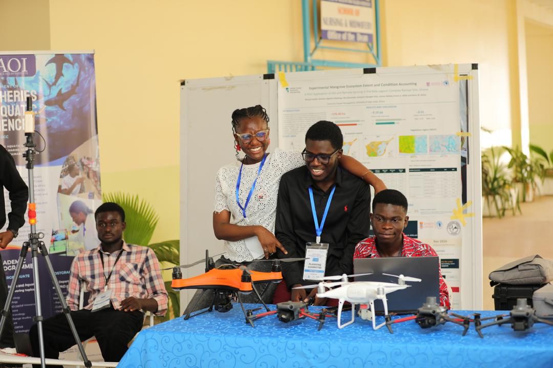
A panel moderated by Gs. Dr Richard Adade explored the application of geospatial technologies in spatial planning, marine conservation, environmental management and agricultural traceability. A highlight was the demonstration of a digital emergency response dashboard developed by UCC’s Department of Geography and Regional Planning and Youth Mappers, which will support the Ghana National Fire Service’s operations in Cape Coast.
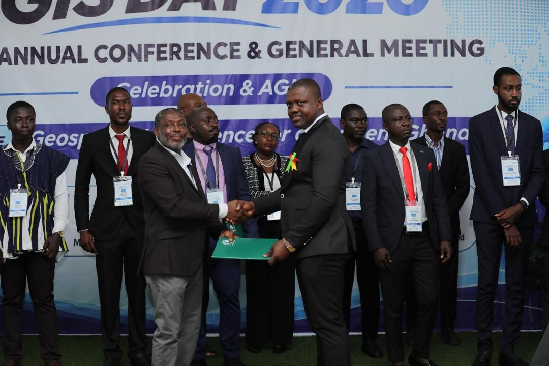
About 50 new GeoSpecialists were inducted into GGS, including lecturers and other professionals. Technical presentations, exhibitions and awards recognised outstanding students and staff; Gs. Dr Julia Quaicoe, Co‑Chair of the Conference Planning Committee, received a Best Lecturer Award.
MultiGeomatics Limited served as Platinum Sponsor, WaterWorX as Gold Sponsor and TGTS Africa as Silver Sponsor, with Sambus Geospatial Limited and DeMappers also supporting the event. The conference marked GGS’s first annual gathering outside Accra and its inaugural collaboration with UCC’s Department of Geography and Regional Planning and the Africa Ocean Institute.
Participants concluded the event with a call for a stronger national spatial data infrastructure, improved data sharing and greater investment in geospatial training to underpin Ghana’s sustainable development.